
The DHS Program Geospatial Team Celebrates GIS Day
November 18, 2020, is GIS Day, a day to celebrate Geographic Information Systems (GIS) technology and their application to DHS data. This GIS Day, we highlight recent work from The DHS Program Geospatial team.
Highlighting Subnational Inequalities That May Hinder COVID-19 Mitigation
The Geospatial team produced a story map using DHS spatial data on handwashing and the average number of people per sleeping room in some countries in Africa and Asia to illuminate subnational variations and inform COVID-19 mitigation strategies.
Health Data Mapping Workshop Facilitated Virtually
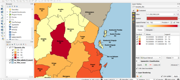
In February 2020, The DHS Program released a call for applications for a Health Data Mapping regional workshop, to be held in Hyderabad, Telangana, India in May. When this workshop was canceled due to the COVID-19 pandemic, the Geospatial team quickly pivoted and developed an online course with the same basic objectives. A new call for applications was launched targeting countries in East Africa. Of 175 applicants, 25 were selected according to established criteria, including 15 men and 10 women.
The redesigned course, a semi-synchronous workshop, was conducted from July to September and included self-paced eLearning and instructor-led virtual sessions. Each week, participants completed readings, videos, and assignments. Participants acquired knowledge on data cleaning, converting GPS data in Excel, and joining data in QGIS, an open-source GIS software package. For their capstone assignment, participants created and presented maps using data from DHS surveys.
The DHS Program periodically hosts virtual instructor-led courses like Health Data Mapping on The DHS Program Learning Hub. For future offerings of the Health Data Mapping and other courses, check The DHS Program website for calls for applications.
Two Spatial Analysis Reports Published
Predicting HIV/AIDS at Subnational Levels using DHS Covariates related to HIV uses GPS data collected in DHS surveys to produce spatially interpolated maps to predict indicator values at non-surveyed locations. This report produces fine spatial and lower level estimates of HIV prevalence for seven Global Fund-supported countries in sub-Saharan Africa. A multi-task Gaussian process is used to leverage HIV prevalence data collected in DHS surveys along with HIV-related indicators such as sexually transmitted infection (STI), condom use, and sex partners. The model produces estimates of HIV prevalence along with uncertainty at the second subnational administrative level (ADMIN 2) where health programs are designed and implemented. This geospatial modeling approach was first described in Interpolation of DHS Survey Data at Subnational Administrative Level 2, and summarized in a previous blog post.
Geospatial Covariates: Proxies for Mapping Urban-Related Indicators uses DHS data from three East African countries to explore what makes an enumeration area rural or urban. The DHS Program does not define urbanicity; countries determine official urban and rural classifications themselves. This can impair comparative analyses of the relationship between urbanicity and health outcomes. In this Spatial Analysis Report, researchers sought to determine if geospatial covariates of urbanicity, including intensity of nightlights and travel times to hospitals, can predict urban-correlated health and demographic indicators from DHS surveys.
Spatial Anonymization in Public-Use Household Survey Datasets
The DHS Program Geospatial team is responsible for displacing cluster location data for all DHS surveys to maintain the confidentiality of DHS survey respondents. This anonymized spatial data is publicly available on The DHS Program Spatial Data Repository to meet research needs. The DHS Program Geospatial team is collaborating with other institutions, such as the World Bank and the United Nations to develop a forthcoming set of guidelines on spatial anonymization of public use microdata.