Tag Archives: Spatial Anonymization

Spatial Anonymization in Household Surveys

Written by: The DHS Program

24 Feb, 2021

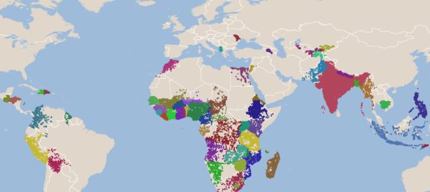
Location is an important factor in population and health outcomes. Knowing the geospatial location of household survey clusters allows researchers to analyze the impact of location on peoples’ health, nutrition, and access to health care services. Geospatial data provide a clearer picture of where progress towards the Sustainable Development Goals is and is not being […]

The DHS Program Geospatial Team Celebrates GIS Day

Written by: The DHS Program

18 Nov, 2020

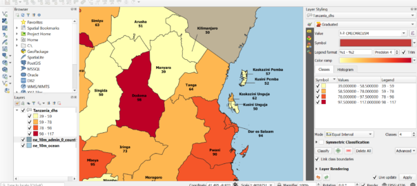
November 18, 2020, is GIS Day, a day to celebrate Geographic Information Systems (GIS) technology and their application to DHS data. This GIS Day, we highlight recent work from The DHS Program Geospatial team. Highlighting Subnational Inequalities That May Hinder COVID-19 Mitigation The Geospatial team produced a story map using DHS spatial data on handwashing […]