
Reflections from Accra: A Look Back at the Regional Health Data Mapping Workshop
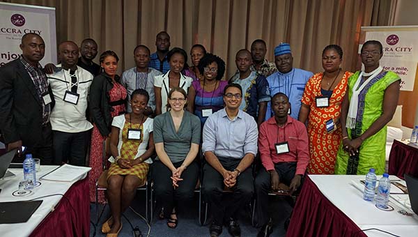
Group of participants and facilitators at the conclusion of the workshop
In August, The DHS Program Geospatial Team was in Accra, Ghana, hosting this year’s Regional Health Data Mapping Workshop to teach participants how to use Geographic Information Systems (GIS) for public health decision-making and program planning. Participants, most of whom had never before used GIS in any capacity, learned the steps necessary to turn data from a table into a thematic map, working both together and independently to create maps and practice presenting them.
The workshop began with a review of Microsoft Excel techniques for cleaning and preparing indicator data to be used in a GIS software (for this workshop, the QGIS platform), which can often have very particular requirements for such data. Once the data was cleared of errors and special characters, participants learned how to import this indicator data into a GIS and combine it with geographic data – stored in the form of a shapefile, which is a unique version of file type specifically used to store geographic information – merging the indicator data of a particular region or district to the shape of that area in the map. Participants were then taught how to colorize the map appropriately, showing the difference between areas, emphasizing regions with higher or lower prevalence with intuitive color schemes, and overall making a visually appealing map.
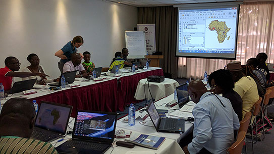
Participants work in QGIS during a hands-on practice session
After completing four days’ worth of exercises and making maps under the guidance of the facilitators, participants had the opportunity to make their own maps from start to finish on the fifth day. Participants independently prepared these maps using their own program data or data from The DHS Program Spatial Data Repository. Each person had three minutes to present their map to the group and receive feedback on what worked well and identify areas for improvement. This allowed the participants to practice speaking about and presenting a map – an intangible but equally important skill.
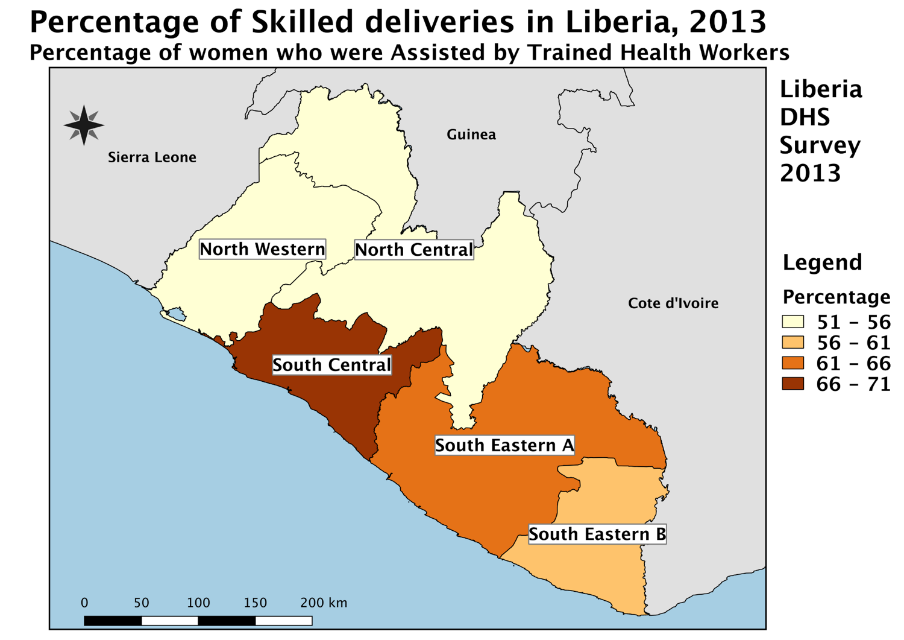
Map made by one of the participants, using DHS data from Liberia
While the workshop was focused on teaching participants the skills they needed to use GIS as part of their work, it also stressed the notion that participants would take these skills and knowledge gained in Accra back to their home countries and offices and pass on this information to their coworkers. We hope participants found this workshop to be informative, practical, and not least enjoyable!
Stay tuned for our final blog post, where we will be highlighting one participant in particular! Read the previous blog post in this series here.
For those who did not attend this workshop, The DHS Program offers numerous spatial data and GIS resources that can be used to self-teach. If you are interested in participating in future workshops, follow us on social media or sign up for our email alerts.

This workshop sounds very useful. I am interested to participate in future workshop.
Hi
How can i join health data mapping workshop. Can you please help me to regarding this type of workshop
We encourage you to subscribe to our email alerts (http://bit.ly/DHSemail) or to follow us on social media for notifications about future workshop opportunities.
Facebook: https://www.facebook.com/DHSprogram
Twitter: https://twitter.com/DHSprogram
i need ur help regarding making maps on the data of DHS. kindly help me
Be sure to check out the Spatial Data Repository here: http://spatialdata.dhsprogram.com/home/ and here are some tutorial videos on our YouTube channel: https://www.youtube.com/playlist?list=PLagqLv-gqpTPRbJA1g4Qnp4dDXDDYRtqP