
New Model GPS Datasets Make for Easy Practice
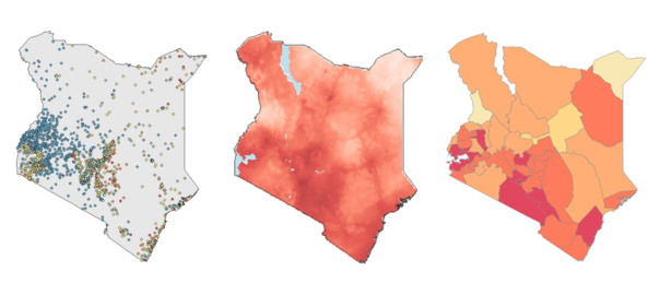
Have you ever wanted to explore the geospatial datasets produced by The DHS Program, but you do not know where to begin? Do you want the chance to practice before analyzing country-specific data? Have you ever wondered how The DHS Program displaces survey GPS data? Perhaps you have even used The DHS Program model datasets […]