Tag Archives: GIS

Linking Climate Change and Women’s Health using DHS Program Data

Written by: The DHS Program

21 Apr, 2023

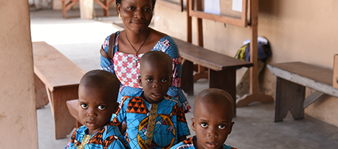
April 22nd is Earth Day, when we take time to reflect on how our actions affect our planet. But how does our environment affect us? In an interview, Dr. Kathryn Grace details how she uses DHS Program data to explore the impact of geography and climate on women’s and children’s health outcomes such as fertility, […]


Call for Applications: 2022 DHS Program Health Data Mapping Online Course

Written by: The DHS Program

14 Feb, 2022

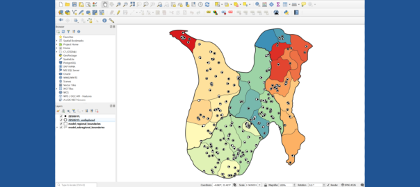
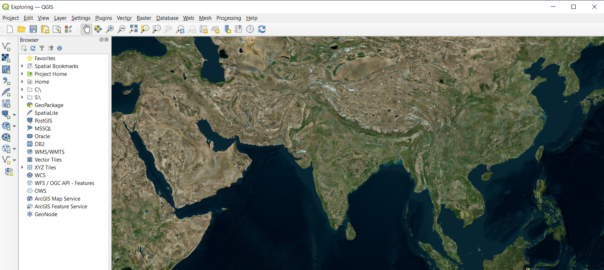
The DHS Program is hosting another Health Data Mapping online course on The DHS Program Learning Hub. The 12-week course focuses on the application of geographic information systems (GIS) in public health, specifically using maps for better program and policy decision making. Participants will be introduced to GIS concepts, manage and clean data in Microsoft […]


Mapping Unrealized Fertility in Sub-Saharan Africa

Written by: The DHS Program

21 Jul, 2021

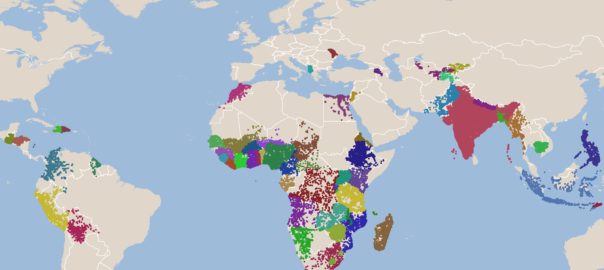
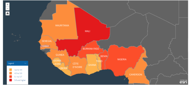
Many women in DHS Program countries have fewer children than they desire. Our newest StoryMap explores unrealized fertility in sub-Saharan Africa, based on the recently published analysis Comparing Ideal and Completed Family Size: A Focus on Women in Low- and Middle-income Countries with Unrealized Fertility. Unrealized fertility is most common among women in Western and Central Africa […]


Spatial Anonymization in Household Surveys

Written by: The DHS Program

24 Feb, 2021

Location is an important factor in population and health outcomes. Knowing the geospatial location of household survey clusters allows researchers to analyze the impact of location on peoples’ health, nutrition, and access to health care services. Geospatial data provide a clearer picture of where progress towards the Sustainable Development Goals is and is not being […]


New Online Course: Health Data Mapping Online Course

Written by: The DHS Program

01 Feb, 2021

The DHS Program is hosting another Health Data Mapping online course on The DHS Program Learning Hub. The 12-week course focuses on the application of geographic information systems (GIS) in public health, specifically using maps for better program and policy decision making. Participants will be introduced to GIS concepts, manage and clean data in Microsoft […]